
Geospatial services GIS and mapping
- Data creation and analysis
- AGOL set-up, data handling, and analyses from raw spreadsheets to optimally visualised, configurable, and updatable datasets
- StoryMap creation
- Constraints and Opportunities Mapping
- Training for a variety of GIS solutions
- Drone survey
River Eden mapping
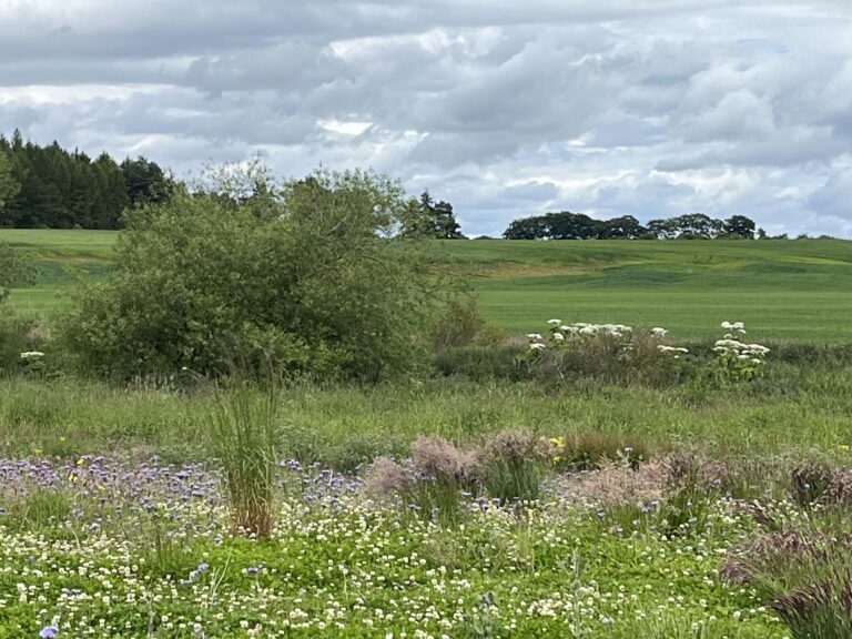
FRC were commissioned by the River Eden Sustainability Partnership to map surveys of riparian habitat and INNS along the length of the River Eden and the Motray Water and their tributaries and identify opportunities for habitat improvement along the watercourses.
Michiel set up the survey protocols for the opportunities mapping, including INNS, bank protection, scrapes, large woody structure opportunities, woodland creation opportunities, and other biodiversity/river/riparian enhancement opportunities for GIS. Pressures on rivers such as outfalls, bank erosion, cattle poaching were also mapped.
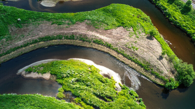
The surveys covered over 186km of river, and drone surveys were undertaken where access wasn’t possible (with landowner permission).
The surveyors mapped any existing opportunities and pressures which were limiting natural river processes. This resulted in 132 pressures in 8 different categories and 253 opportunities in 9 different categories.
Hover to read more
Geodata management
Forth Rivers Consulting engaged the expertise of Michiel Voermans, the Forth Rivers Trust’s GIS specialist, to work alongside the Dee Fishery Trust and Board to set up a centralised portal where datasets are available for interpretation and analysis.
We presented the client’s data in an ArcGIS StoryMap backed up by analysed and visualised datasets, offering the following benefits:
- StoryMaps provide context, helping to explain the significance of data.
- Incorporating maps and multimedia enhances visual appeal and understanding.
- Mapping technology aids in understanding data in a spatial context.
- Intuitive interfaces allow users to explore data at their own pace.
- Geospatial databases are set up ready for more data to be collected in the field through phone or tablet.
- Narrative structures evoke emotions and create a memorable impact.
- Clickable maps and charts encourage user interaction for deeper exploration.
- Facilitates collaboration and sharing of insights among teams.
- Effective for educational purposes and broad outreach efforts.
Hover to read more